Stamford’s Waterways
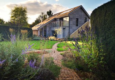
The water courses, tributaries and rivers that weave their way through Rutland and Stamford are beautiful features to the bucolic country scene of the area. Not only do they add so much visual attraction, but the soft trickling of a nearby stream adds a certain tranquillity to a Sunday dog walk or a family picnic.
We gain so much enjoyment out of rivers in our area in this day and age, but throughout history, the water courses that make up Rutland and Stamford have taken on new forms, moved and changed and have played important roles in our history.
For more of an insight into the role of our rivers, we spoke to Chris French from the Welland Rivers Trust who’s passionate about their preservation and interested in their history.
Chris used to work for Forbes Magazine in a job that meant he had to travel the world, seeing the good, the bad and the ugly.
“My travels really showed me the awful lack of respect our planet and population has for the environment,” says Chris. “I decided to get a Masters degree in conservation on my return and began working for the Welland Rivers Trust and Conservation Movement. My role focuses on river ecology and improving river quality.”
The Trust was founded in 2010 and came about due to a group interest in the area to see an improvement in the waterways. They are responsible for developing restorations and engaging the community in helping the cause, in addition to improving habitats. It’s an invaluable service, giving guidance and support to the community.
It’s a small organisation with six trustees and Chris is the only one that works on the project full-time. They meet every two months to discuss ideas, highlight priority areas and coordinate strategies.
“Everyday is different,” says Chris. “I love my job and I love making a difference. It’s very satisfying and rewarding. I love talking to communities and getting involved in supporting something I’m very passionate about in my local area.”
Chris is not only passionate about preserving rivers – he’s passionate about finding out more information on them too. This can help the local community really understand why it’s important to look after waterways.
“The Welland is the main river that flows through Rutland and Stamford. In fact, the River Welland is the entire southern border of Rutland and Northamptonshire.”
“Other water courses within the county are all tributaries of the Welland which includes the River Gwash. This river was controversially dammed in the 1970s to create Rutland Water, the largest man-made lake in the UK.”
“There is also the River Chater, that enters the Welland just after it flows through Ketton and the Eyebrook, one of the most natural lowland water courses in the UK, thanks to its lack of modification.”
“The Eyebrook was also dammed to create the Eyebrook reservoir. Today, this body of water is predominantly used as a fly fishing hotspot, but was built to supply water to Corby in the 1930s to support the booming steel industry.”
“It’s largest claim to fame is that it served as a practice site in May 1943 for the Dambusters before their iconic mission during the Second World War. You will find a plaque on site at the beautiful reservoir that commemorates this.”
“The Welland Viaduct, constructed to take the Midland Railway from Kettering to Manton, was constructed in the 1870s and authorised by an act of parliament in 1874. It’s the longest masonry viaduct across a valley in the UK and is a very impressive structure. It’s Grade II listed and an icon of the Welland Valley on the Rutland border.”
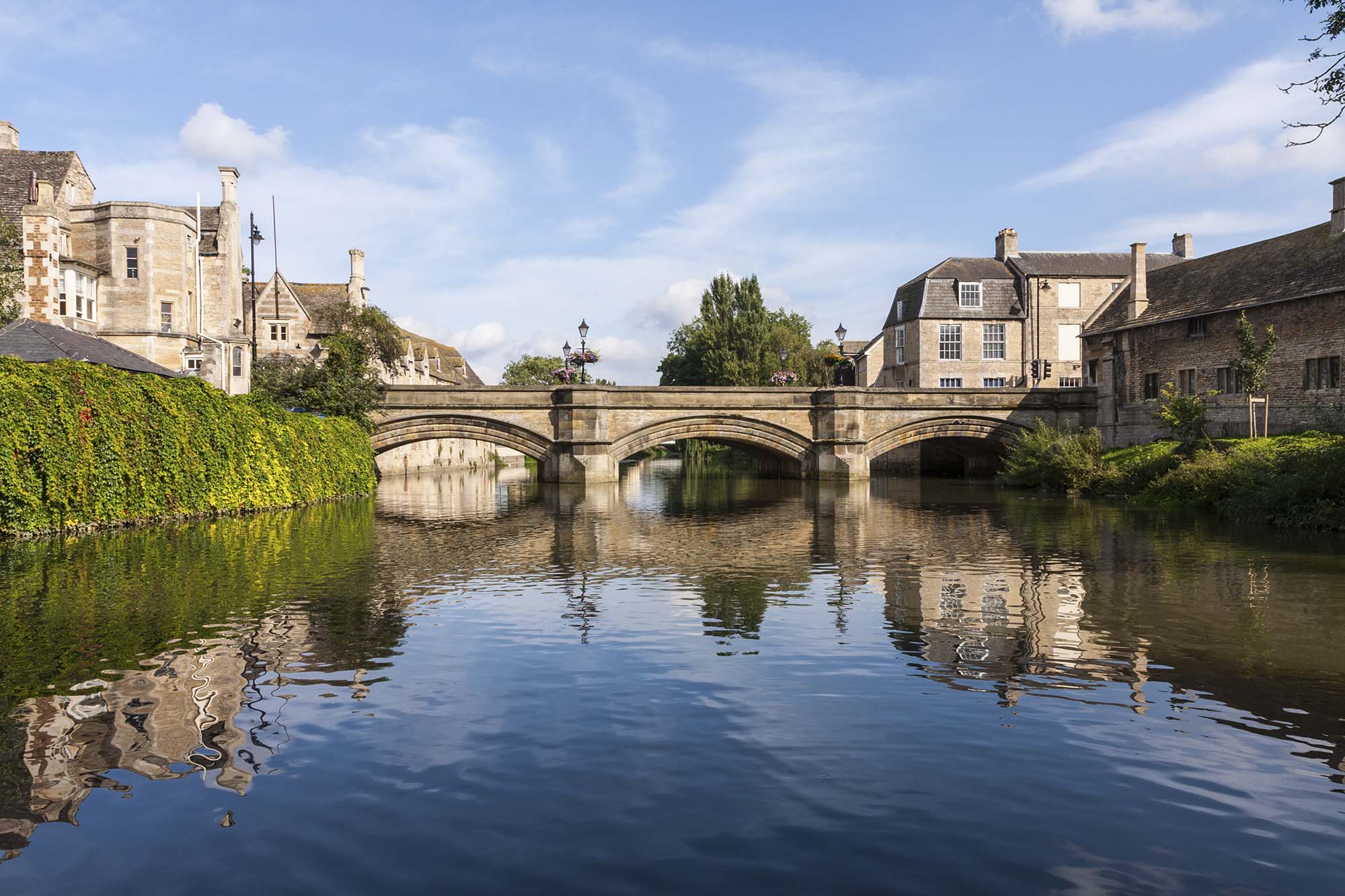
The River Welland is also the river that flows through Stamford under the main bridge in town next to the George and the Meadows. It is one of four rivers to lead out into the Wash, 65 miles long in total. The river was one of the earlier rivers to be granted an act of parliament for improvements – by Queen Elizabeth I in 1571 – to allow navigation to Stamford.
The improvements were carried out in the 1660s, when a new cut with 10 locks was constructed between Stamford and Market Deeping, and two locks were built on the river section below Market Deeping. The canal section was known as the Stamford Canal, and was the longest canal with locks in Britain when it was built. It would have been tremendously busy with barges carrying flour, malt, coal, timber and limestone.
Navigation ceased by 1863, and the river changed dramatically in the 1970s during the draining of the Fens. The river was deepened with many meanders, pools, riffles and glides removed and the river was constricted within high, straight banks. High winter flood flows and poor land management practices now cause significant bank erosion and sedimentation.
“Prior to modification, a high proportion of these nutrient-rich sediments would have been deposited on the floodplain, providing rich grazing pasture, but as a result of the flood defence works, a large proportion of these sediments now remain in the channel, degrading habitats including fish spawning gravels,” says Chris.
“As a result of this intensive modification, the River Welland is failing to meet the EU Water Framework Directive objective of ‘good ecological status’ on the grounds of high phosphate levels and poor fish populations.”
“To ensure that the river meets these objectives in the future, we are now implementing a series of river enhancement projects across the River Welland.”
We get so much pleasure out of this brilliant water way in Rutland and Stamford, so lets make sure it’s ecologically beneficial too!
To get involved with the work of Chris and his team, visit the Welland Rivers Trust website www.wellandriverstrust.org.uk.